
29 May 2017
Marais Poitevin: France’s Green Venice


Many paths were cleared across the land during the Roman period and it was settled by the Picton tribe who also gave their name to the nearby city of Poitiers. Later centuries would see raids by the Vikings, which forced the local population deeper in to the wildest areas of the marsh where they subsisted, living the life of hunter-gatherers in to medieval times. Yet almost each year their huts would be flooded by rising waters.


The drainage proper of the marsh started around the eleventh century when Benedictine monks saw the place as both a place to build abbeys, raise crops and, because of its isolation, keep the rest of the world at least partly at bay. The monks built three canals, the Bot-Neuf (1199), The Bot de Vendée (1210), and finally the largest canal des Cinq Abbés (1217), which is over 11 km long.


Their work was later carried on by Dutch workmen who built a series of drogues (dykes) which successfully kept the sea at bay. Yet despite all of this work the area was still waterlogged and even the villages which sprang up inside the marsh had ports which endured until the nineteenth century. Travel by boat was the only means to traverse the marsh and even markets were held on the waterways.


The dykes sheltered the land from the sea; the canals protected it from the flood water of local rivers during the winter and spring by giving it a pathway towards the ocean. Yet the various religious wars of the fourteenth and fifteenth centuries saw all this work come to virtually nothing. The marais reverted back, almost to its original state, due to a combination of lack of upkeep and deliberate destruction. The latter was due to the Dutch habit of seizing half the land if the owners refused to build dykes (this was done with the permission of the king). The owners, naturally, were having none of it.

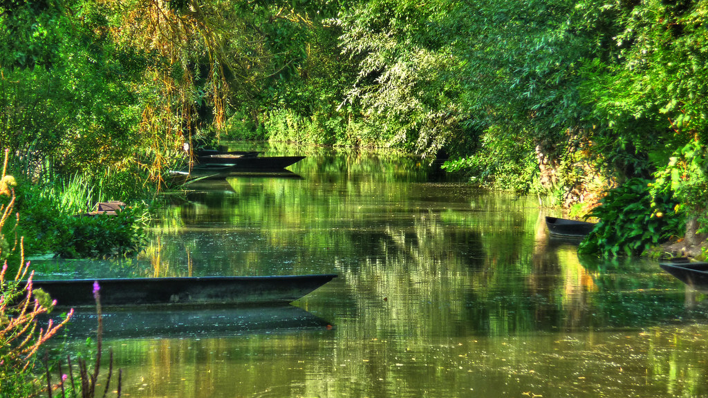


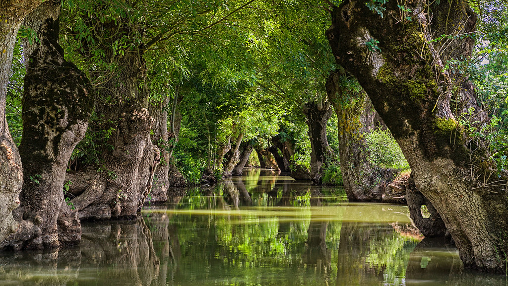
Yet the marsh remains captivatingly beautiful. Willows and poplar trees line its banks, their roots supporting the structure of the canals. They are typically planted in rows along with ash. They are regularly pollarded and their roots are pivotal in holding the earth of the banks together and offer the visitor an exquisite and unusual landscape. No wonder the sign in one of the local villages, Coulon, reads Ralentissez et Admirez – you have to do exactly what it says here: slow down and admire.
First Image Credit Flickr User Charente Maritime Tourisme


